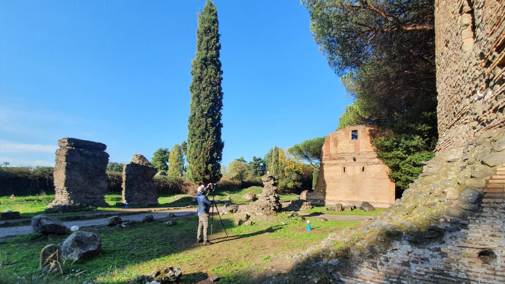
The Parco Archeologico dell’Appia Antica (Appia Antica Archaeological Park) was established in 2016 and represents the largest protected urban area in Europe, with 4,500 hectares of landscape and a series of archaeological areas, along more than 16km of the Via Appia Antica “Regina Viarum” (Queen of the Roads).
From now on, the park will no longer fear the passing of time: because of the work carried out by the Politecnico di Milano, it has been possible to deliver a comprehensive, organic and systematic surveying and digitalisation project in the area for the purpose of creating a modern geographical atlas.
The aim is to create a ‘living 4D digital twin’ which can be used by experts, curators and other individuals responsible for restoring and preserving the largest protected urban area in Europe, to be developed and monitored over time.
“A living digital twin,” says the coordinator Raffaella Brumana from the GIcarus ABCLab at the Politecnico di Milano, “which spans the past and future in infinite dimensions, made up of information models to support conservation projects and monitoring, seismic vulnerability plans, and is connectable to wireless IoT sensors. It is implementable, updatable and searchable, allows for synchronic and diachronic correlations and adds knowledge as it grows in size. It can be re-used for sharing content and interactive, immersive and remote use.”
To date, the atlas contains over 200,000 images and 20 terabytes of data and modelsmodels from which it is possible to extract information relating to the three-dimensional models of the park's geographical space.
The high-precision survey was conducted using terrestrial laser scanners (TLS) and portable scanners (MMS - Mobile Mapping Systems), terrestrial and aerial photogrammetry, drones, spherical cameras and multispectral sensors and made it possible to obtain an HBIM (Heritage Building Information Modelling) model in four dimensions (space and time) which, once associated with historical information, material and sensors for monitoring instability and deterioration, makes it possible to compare the construction techniques employed over the centuries.